Big Bend 2021, Part 2
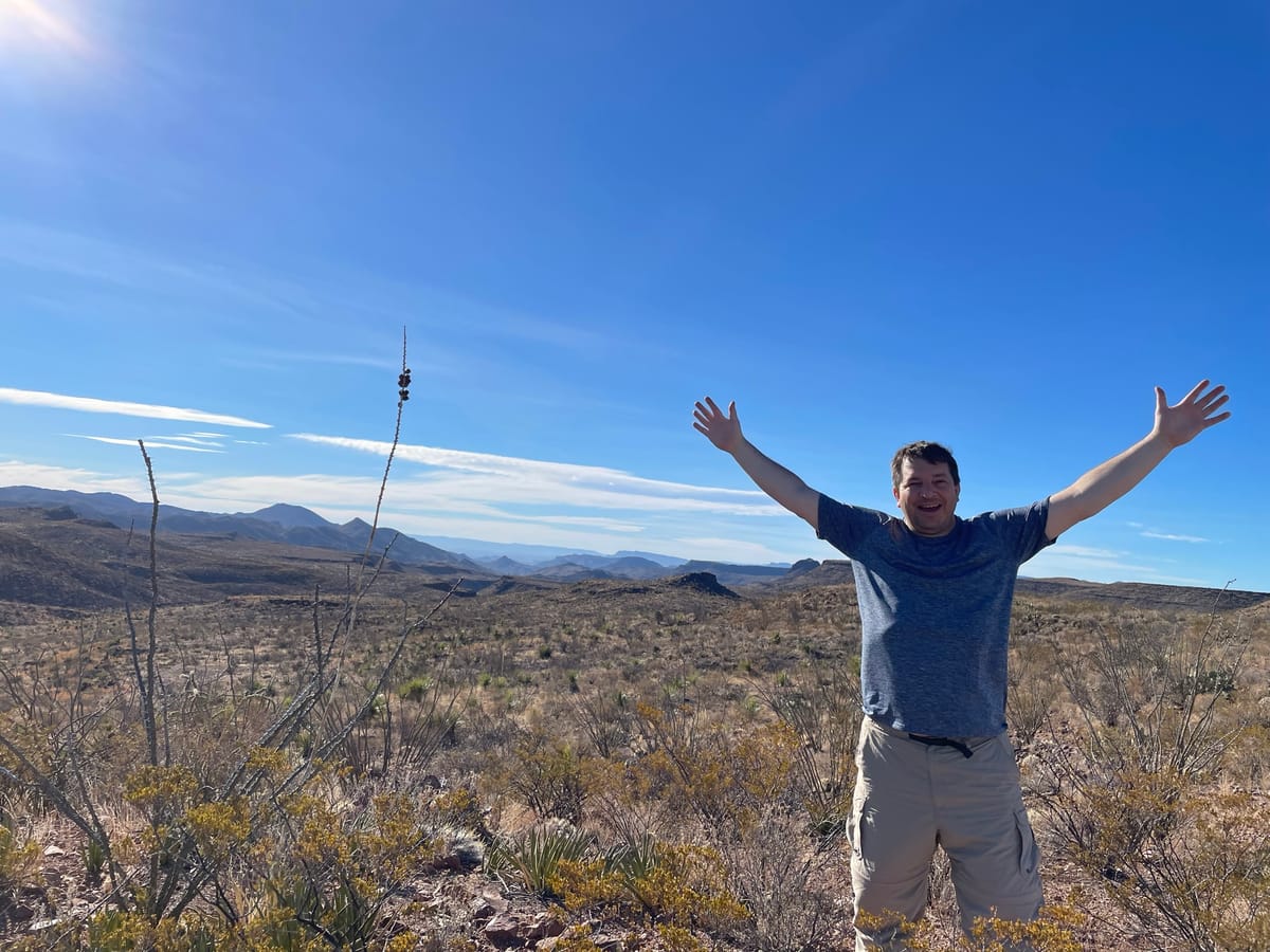
Over the next few days we did a lot of driving around and exploring the countryside. The scenery was pretty amazing but the weather was a bit hotter than we expected for this time of year and so we decided to do more exploring in the car rather than on foot.
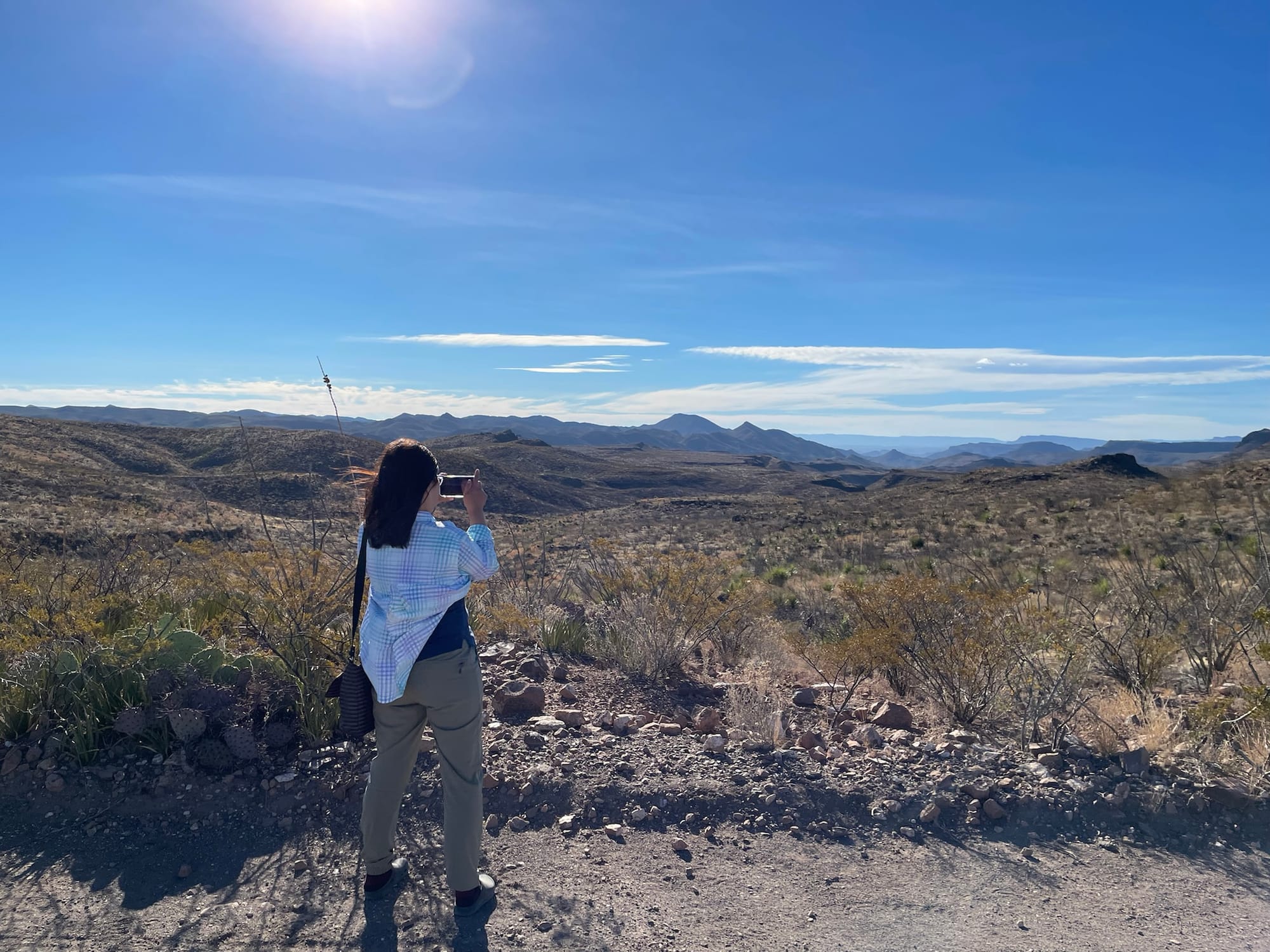
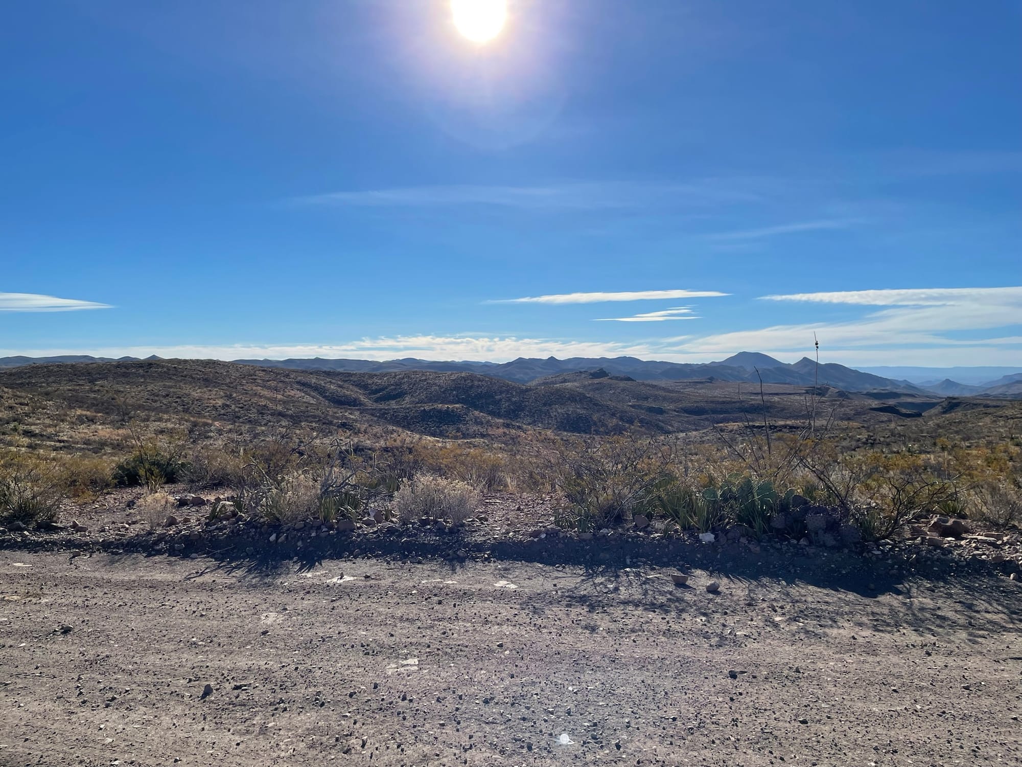
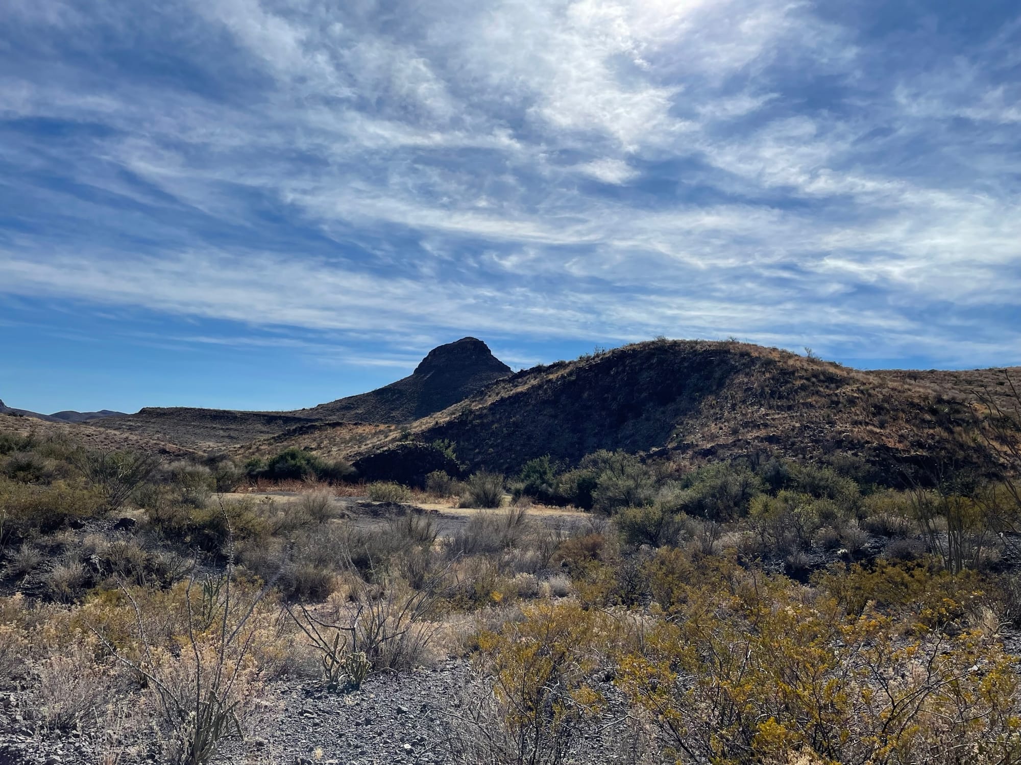
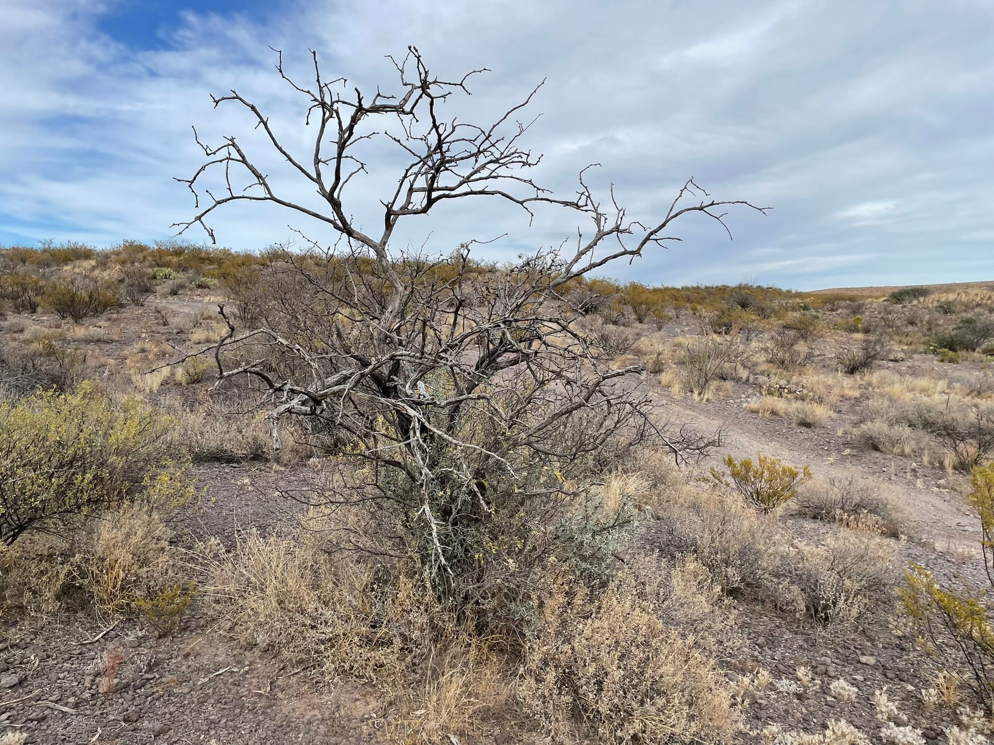
A lot of the park is accessible in a regular 2WD vehicle, but if you do see signs warning that a road requires 4WD you need to take them seriously. You will not get very far if you venture down any of those roads without a high clearance vehicle. We didn’t go down too many of the 4WD roads mainly because we were traveling on our own and recovery would be a nightmare out there without another vehicle to help you out.
On one side road we did have an opportunity to see some of the feral burros that inhabit the park:
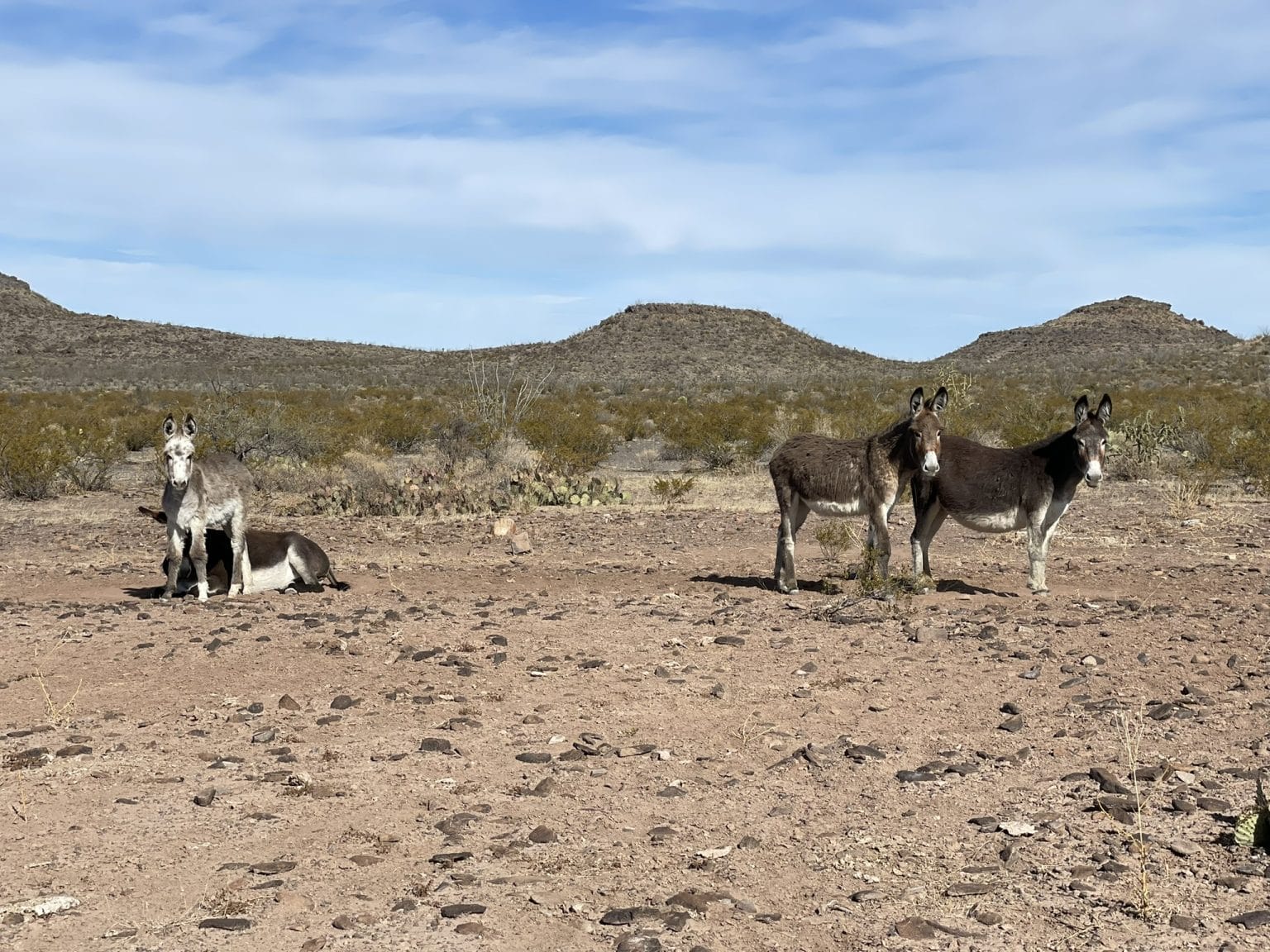
I didn’t know much about them so I decided to read up a bit and learned that they are not indigenous to the park but are largely animals that have escaped from nearby ranches. I found an interesting write-up about feral burros from the Texas Parks and Wildlife Department you can read here. Evidently they cause a lot of damage to water sources in the park and the TPWD has had a hard time trying to figure out the best way to deal with them.
After a couple of days of just camping and driving around, we decided to take a short hike – the heat wasn’t too bad but it was still right around the edge of where I start to feel a little uncomfortable about being out on foot for too long. But we had plenty of protective clothing and a lot of water, so we decided we’d try the trail down to Mexicano Falls and just turn back if it got to be too much trouble.
When we got to the trailhead, I was surprised to find that the map of the trail system there is pretty confusing – rather than showing you the complete distance between point A and point B, they have a handful of waypoints sprinkled at random. To make things worse, each waypoint is set on what a looks like a distinct segment of the trail – so if you don’t look carefully you can easily mistake the waypoint as indicating the total length of that segment:
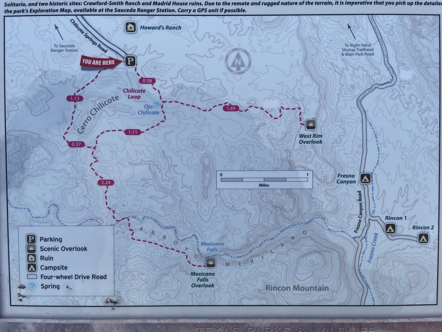
After spending some time deciphering the screwy map, we decided to take the route to where the trail splits off at Ojo Chilicote – which was about 1 mile from the parking lot.
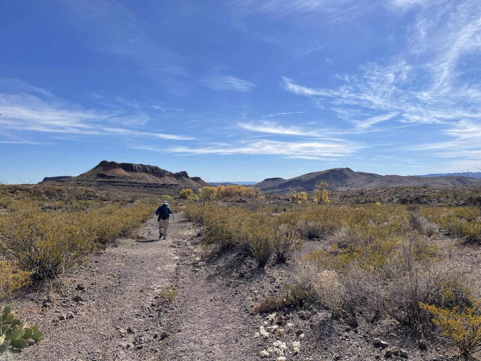
This part of the trail was pretty easy, basically just a dirt road. And you could tell there was a spring up ahead because of the large stand of cottonwood trees.
After you get to the marker where the trail splits, the terrain starts to get a bit more difficult. The trail to Mexicano Falls is marked with cairns which are spaced close enough together that you can usually see the next one without having to search around too hard for it.
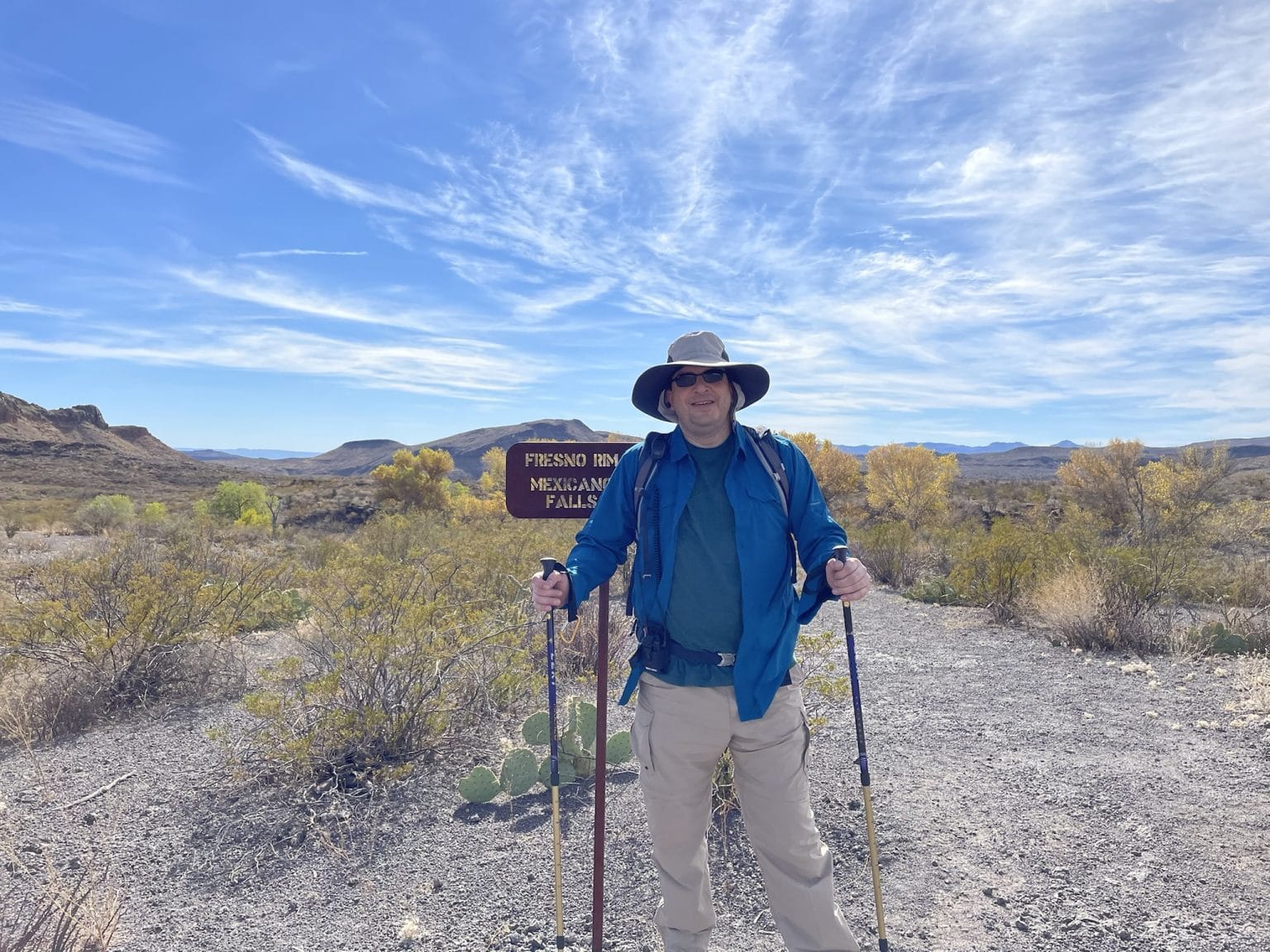
Unfortunately, we got a late start and since we sacrificed our overnight camping gear to make room for extra water, we weren’t able to make it all the way down to the falls. Nonetheless, it was a fun hike and would probably be perfect if the weather had been just ten degrees cooler or so.
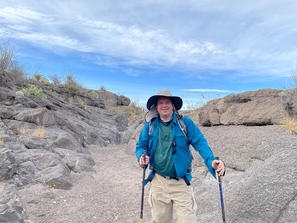
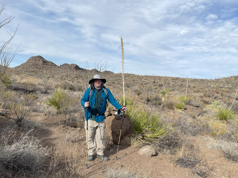
All in all, it was a great trip and we're definitely looking forward to getting out there again one of these days.

